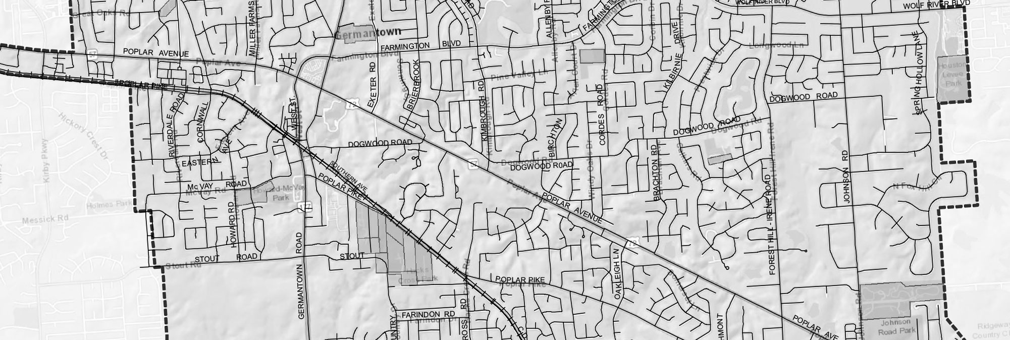
Geographical Boundaries
City of Germantown Driving Tour of Cultural and Historic Resources
The Old Germantown Historic District closely represents the original one square mile that was the Town of Germantown until the 1950s. Now part of a larger area of 19.1 square miles, and identified as the City of Germantown; this area receives the protection of an ordinance (“OG” District), a Design Review Manual, and a Streetscape Plan. The term “continuum” best identifies the area as an association of properties that are respected, individually, as characteristic of Germantown’s history.
The Germantown Historical Commission and the Germantown Museum (a 501c-3 organization) have the responsibility of commemorating historical events and educating the public about the Germantown story. A self-guided walking tour of limestone photo markers, built on a “Now and Then” approach, provides photographic evidence of the past allowing the visitor to stand where the photographer stood at a specific place and time.
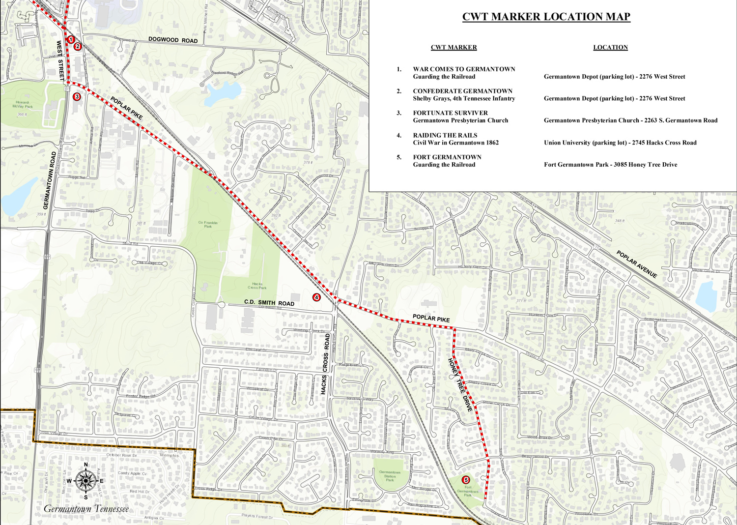
The following resources extend that historic walking tour to drivable locations outside this original mile, from west to east through the City of Germantown.
FRANCES WRIGHT MARKER – (Neshoba Plantation PD off Old Riverdale Road – Deep Valley Drive at Neshoba Circle) Frances Wright was a wealthy lady of Scottish descent who developed 2000 acres in the Germantown area between 1825 and 1830 as a utopian experimental farm. The farm was designed to provide Afro-Americans the opportunity to work and develop skills so that they may become self-sufficient. Neshoba Plantation was one of only four (4) intentional communities in Tennessee that were established for a purpose.
JOHN GRAY HOUSE – (Municipal Park between Germantown Road & Exeter) The John Gray House is one of the oldest, restored residential homes in Shelby County. It has served as a model for architects when information is needed for an accurate restoration of this 19th century period.
GERMANTOWN TRAIN DEPOT – (2260 West Street) The Germantown Train Depot (1848) located on the south side of the track has been home to the Memphis & Charleston Railroad, the Southern Railroad, and now the Norfolk Southern Railroad. The CIty has established a museum inside offering the public a view of the waiting rooms, the operations room, and the baggage room. An early 20th century (G-Scale) train layout has been constructed in the ceiling of the baggage room, and a scanner allows visitors to listen to live conversations on present-day trains along this track.
SHELBY GRAYS 4TH TENNESSEE INFANTRY – (2260 West Street) in 1861, 83 men out of the 300 citizens in 1860 Germantown enlisted in the Confederate army. They formed the Shelby Grays and were designated Co. A., 4th Tennessee Infantry. The new unit was mustered into service on May 15, 1861. The men boarded the Memphis & Charleston Railroad train to Memphis and then took a steamboat to the Training Camp at Fort Wright and then Fort Pillow. Their first action on April 6-7, 1862 was at Shiloh at a cost of casualties of almost half their men. Later the regiment with the Army of Tennessee later served in battles across Tennessee and Georgia. They surrendered at Greensboro, North Carolina on April 26, 1865, and were paroled on May 1. At war’s end, only half of Germantown’s Shelby Grays survived to return home and start life anew.
GERMANTOWN UNITED METHODIST CHURCH & GRAVEYARD – (Church – 2331 S. Germantown Road/ Cemetery – Intersection of McVay Road and 2nd Street) The present-day site of McVay Road cemetery was also the site for the Methodist congregation who had worshipped there since the 1840s. The Methodist congregation donated its building as a regimental hospital in the Civil War. In January 1863, it fell prey to the fire-wood needs of a regiment bivouacked in the graveyard, was torn down and a new building was built on this site in 1872.
GERMANTOWN PRESBYTERIAN CHURCH – (2363 S. Germantown Road) The Germantown Presbyterian Church, the oldest public building in town, was constructed in 1851 and dedicated in 1853. In the summer of 1862, the region was occupied by Federal troops. The U.S. commander in the area was ordered to burn all of the public buildings of the town to discourage Confederate resistance. The Presbyterian minister at that time, Rev. Richard R. Evans, and his ruling elder Moses Neely appealed to Colonel William Lawrence Sanderson, a senior officer of the 23rd Indiana Volunteers, the commanding officer stationed in Germantown, to spare the church. Because Evans, Neely, and Col. Sanderson were of the Masonic order and both Evans and Sanderson were teachers, Col. Sanderson agreed to save the church. It was put to use as a military commissary, hospital, and stable during the Federal occupation. The bell tower was added to the structure after the war in 1867.
In 1950, the church building, which originally faced north and was located in the southeast corner of the lot bordering Germantown Road, was moved to its present east-facing site as a part of a church expansion program. It continues to be used as a chapel.
BOBBY LANIER FARM PARK – (2730 Cross Country Drive) The Bobby Lanier Farm Park was recently built on a former Germantown farm property to assist the public in understanding and enjoying the rural heritage upon which the City was built. From vegetable and flower gardens to animals and farm structures, the public receives an education on the manner in which earlier settlers lived. Opportunities abound for public participation.
GERMANTOWN CHARITY HORSE SHOW GROUNDS – (7745 Poplar Pike) Since 1948, Germantown has exercised its roots as a horse community with the annual Germantown Charity Horse Show. This event and others draw people from beyond this community who appreciate the traditions associated with horses.
OAKLAWN GARDEN – (7831 Old Poplar Pike) Oaklawn Gardens represents a pre-Civil War property that had only one or two owners and contains memorabilia relative to the CIty’s history and the adjacent railroad’s history, in addition to an arboretum of native plants. It is a photographer’s paradise in the spring.
FORT GERMANTOWN – (3085 Honey Tree south of Poplar Pike) Fort Germantown was a Federal Redoubt that provided a place for Union soldiers to offer protection of the Memphis & Charleston Railroad (built-in 1852) between Shiloh and Memphis. After the Battles of Shiloh, Corinth, and Memphis, the railroad was controlled by the Union. They gathered men, supplies, and ammunition at these points which were six (6) hours by horseback apart. The site illustrates the size of a redoubt, its construction, and its proximity to the railroad and provides reproductions of two-period artillery pieces.
Civil War Trail Markers
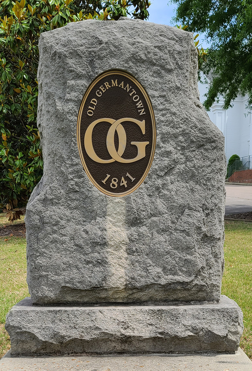
Boundary Marker of original Old Germantown District placed 1/2 mile in each direction from original center of town (The Depot)
You stand in the steps of the original photographer and see what they saw, then look up to see what is there today. Glen’s Grocery and Dr. Seay’s Clinic (1940s), which is now The Commissary
